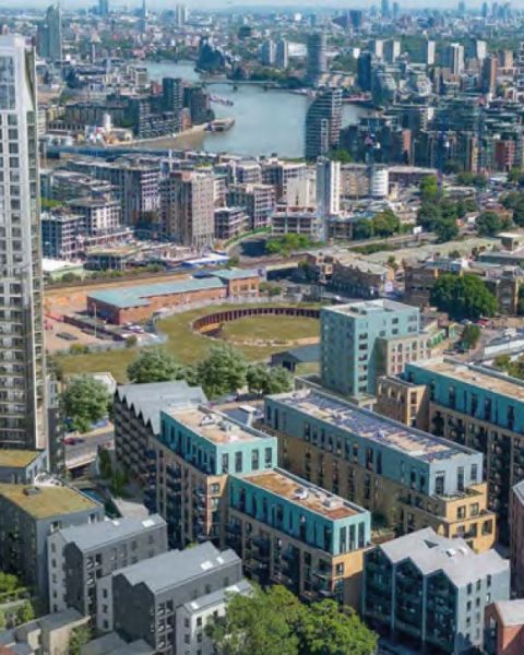
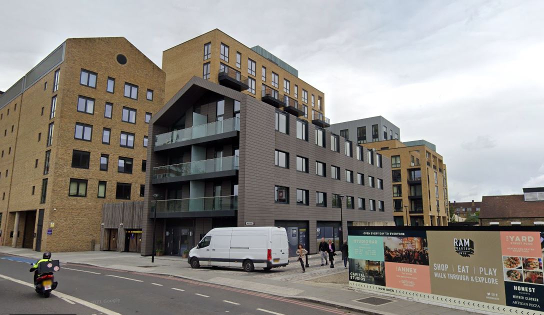
Wide-angle images have been used for a long time by developers. This is a fact that they distort perspective and therefore tall buildings appear further away or smaller than they are or would be in reality. However, architects might use them in order to provide information for the scheme such as number of buildings and panorama views. Miller Hare, a leading expert on the field, explains: “it is logical to use a wide angle lens in order to include additional context in the print“.
There is no dispute about that except from Wandsworth planning officers.
In 2010, a government inspector’s report (p7) rejected the 2008 Ram Brewery plan said:
“Guidance on how to prepare AVRs consistently indicates that images should ideally be made within a 40° field of view (FOV); beyond that, the perceived shapes of surrounding buildings may be distorted […] the use of a wide angle lens has the effect of distorting perspective and distance, and thus the spatial relationship between foreground and background. Existing buildings, and therefore the new ones, appear further away or smaller than they are or would be in reality. […] the applicant’s AVRs cannot be taken as accurately representing what would be seen by the human eye.“
Well, nothing has changed!
In their Accurate Visual Representation Methodology document (provided by Miller Hare), they explain (p4):
“In the simple case the lens selection will be that which provides a comfortable Viewing Distance. This would normally entail the use of what most photographers would refer to as a “standard” or “normal” lens, which in practice means the use of a lens […] between about 40 and 58 mm. However in a visual assessment there are three scenarios where constraining the study to this single fixed lens combination would not provide the assessor with the relevant information to properly assess the Proposed Development in its context. […] it is logical to use a wide angle lens in these situations“.
The simple questions that come to mind are : Who is it logical for? Are we trying to assess the visual impact of the scheme? Or are we only trying to show the shape, colour and number of buildings? Is size and distance not a relevant information?
29 images out of the 36 AVRs (Accurate Visual Representation) submitted to the Council were using the same methodology as the one criticized by the government inspector in his report in 2010. However in 2013 Wandsworth planning department accepts them all.
Accurate images provided by the Wandsworth Society
In a letter addressed to CJAG on June 5th, Tim Cronin (planning officer, Wandsworth Council) explained however that images provided by the developers are “images from the ‘worse case scenario’“, and added that “what the Council is seeking is a verified image that is as close to what the naked eye would see when the development is complete.”
Similar to 2009, the Wandsworth Society has commissioned the same expert (whom images made the case for the inspector to refuse the previous scheme) to produced accurate representations, of what will be actually see by the human eye.
You can then see by yourself below the “worse case scenario” as seen by Wandsworth planning officers, and the reality. The difference is striking!
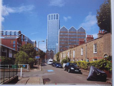


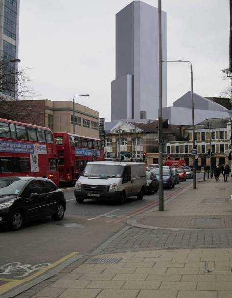
So we cannot wait to see how the planning officers are going to justify the discrepancies, as Tim Cronin said “This will make clear to Members why it was considered in this instance that the images used are the closest representation to what the naked human eye would see once the development is complete.”
You can download HERE the full analysis document made by the Wandsworth Society.
Download here the letter from Tim Cronin.
