Author: Cyril Richert
The Council is currently ticking boxes on “consultation” asking for opinions that normally request weeks of research and work every few months, not even talking about the interim planning applications that we need to comment on. However as you might have seen here (Peabody) and there (Peabody) paid staff has the final say – meaning that it is mostly ignored!
One of the latest “consultation” (closed November 25th) was regarding the Local Views SPD (Protected views in Wandsworth borough).
Local views of Clapham Junction
 Below are the views of/from Clapham Junction listed in the document (click on the little photos to see them bigger):
Clapham Ridge towards Chelsea particularly from parts of Lavender Hill, notably the junction with Latchmere Road
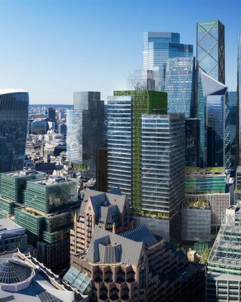
 Open panorama views may be afforded from the elevated positions of the platforms at Clapham Junction station where central London landmarks are visible. Commuters on their daily journeys can enjoy views of central London landmarks including the London Eye, Telecom Tower and Canary Wharf from the station platforms.
 Views of heritage assets and landmarks: View of cluster of buildings in Central London from Clapham Junction railway station, SW11; View of Arding and Hobbs (Debenhams) Department store from Falcon Road, SW11; The Clapham Grand, when viewed from the railway station, marks arrival at Clapham Junction.
 The topography of the streets between Wandsworth and Clapham Common strengthens the prominence of a number of local landmark buildings such as Honeywell School and St Luke’s Church. A further example of this is St Marks Church on Battersea Rise.
Amazingly, the document lists “protected” views already destroyed by approved planning.
The long view along the green chain of the railway embankment from the Freemasons Bridge by Emanuel School will be blocked by the (approved) proposal to build a large bridge of solid appearance at street level from the school to Spencer Park/Windmill Road.
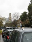
 Another disturbing fact is that the planners failed to prevent the listed view of St Anne’s church from Rosehill Road from being severely damaged by the tall building at the end of Southside. See the effect of the new building behind the church! It makes us chuckle to read the adjoining text on the document: “6.1 Views of substantial, imposing and interesting buildings define the character of parts of the borough.[…] The Council’s adopted Conservation Area Appraisals and Management Strategies also identify views which are locally important to a cherished scene …”
Although this looks like a well illustrated draft that builds positively on the previous local views document, recent events have already proven that this is just another wishful attempt that will not have any consideration in deciding a future planning application.


