Article published in the Battersea Society Newsletter, summer 2009 edition.
Recent discussions about proposals for Clapham Junction (or Battersea Junction) station, and the surrounding streetscape, prompt reflection on how this place could be. What would this locality be like, in order to be truly fit for the 21st century?
From a Living Streets perspective, the desired endpoint would be ‘safe, attractive and enjoyable streets for all’. Integral to this would be having the needs of people prioritised over traffic, and involving people in decision making. In this vision, walking would be the natural choice for short journeys.
Urban designers talk about our streets in terms of ‘link’ and ‘place’. These two, sometimes conflicting, dimensions are useful in thinking about how to assess any development or transport scheme. Clapham Junction is, of course, a key ‘link’ in the sense of being a major transport hub, and also has strong claims as a ‘place’ – somewhere people meet to do business, shop, relax, and live; somewhere with a distinct community, history and ‘feel’.
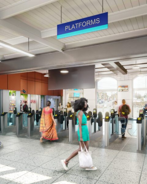
 In terms of Clapham Junction as a ‘link’, I’d say that a well designed 21st century interchange would be one which was viewed internationally as successful, an exemplar even, in promoting ‘active travel’ modes – walking and cycling. In practical terms this would mean things like: excellent accessibility for all within this large railway station; people-friendly vehicle speeds (why not a 20mph speed limit covering the whole area?); and excellent permeability of the area for those on foot and cycling. On this last point, walking and cycling are modes of travel which are very sensitive to distance. Hence the value of a fine-grained street and urban development pattern, with cut-throughs and exemptions from one-way working, allowing avoidance of lengthy detours and opening up route choice for ‘active travel’ modes. Painstaking thought would go into attracting pedestrians and cyclists and creating ‘seamless’ integration with public transport, with continuing efforts to increase the modal share of walking and cycling trips. Lower traffic speeds allow planners to be more bold in creating shared space on busy pedestrian routes. Shared space works well on the South Bank; why not Clapham Junction? In summary, the ‘Manual for Streets’ principles should be applied here; to do this would be to transform it for the better. [1]
As a ‘place’, an exemplar 21st century Clapham Junction would look and feel pleasant, and would be accessible for everyone. Local air quality would be much better than now, and improving all the time as people are encouraged to walk or cycle. Though always busy and buzzy – that’s part of its appeal – our ears wouldn’t be assaulted by traffic noise when we emerge from the station, since almost everyone would arrive by public (and semi-public) transport, walking and cycling. Rather than creating motor traffic by providing numerous residential car parking spaces within the station development, there’d be sufficient car parking spaces for disabled people, with lots of well designed cycle parking for residents and visitors, and spaces for car clubs generously distributed here and in the surrounding area. The urban realm would be both beautiful and functional… aside from a top-quality interchange, we might expect to see features such as a working (!) public clock; attractive seating; trees; water fountains; easily accessible public toilets; kiosks; pocket parks and other play facilities; references to the Falcon Brook; and a cycle repair, storage & hire station. The local community would be diverse and resilient, well connected to the area and with a thriving local economy.
These are some characteristics I’d associate with a ‘successful’ urban realm in Clapham Junction town centre; now, how to achieve this?
[1] Manual for streets. Department for Transport/ Communities and Local Government/ Welsh Assembly Government, 2007. ISBN: 9780727735010
You can also read our article on alternative plans for Clapham Junction area.


